Tidal Marsh Monitoring
Home
About
Science
References
News
Events
Contact
Links
Site Map
Nisqually NWR
Monitoring Methods
Elevation
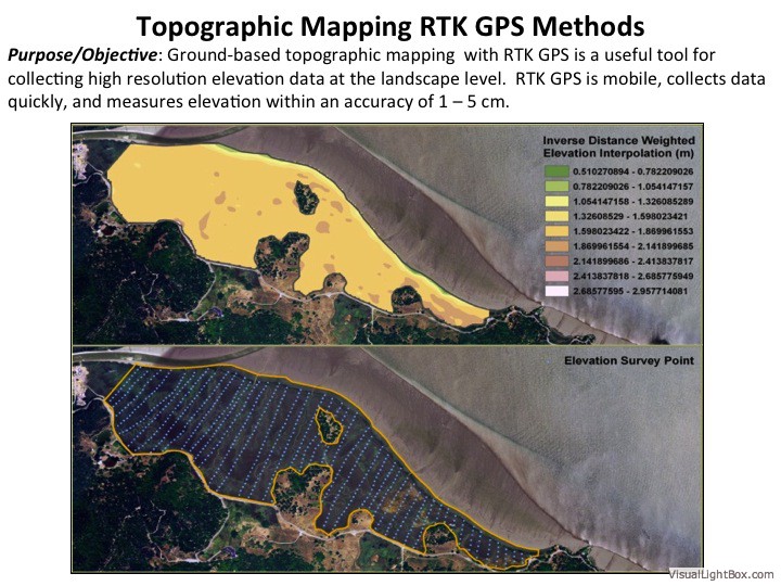
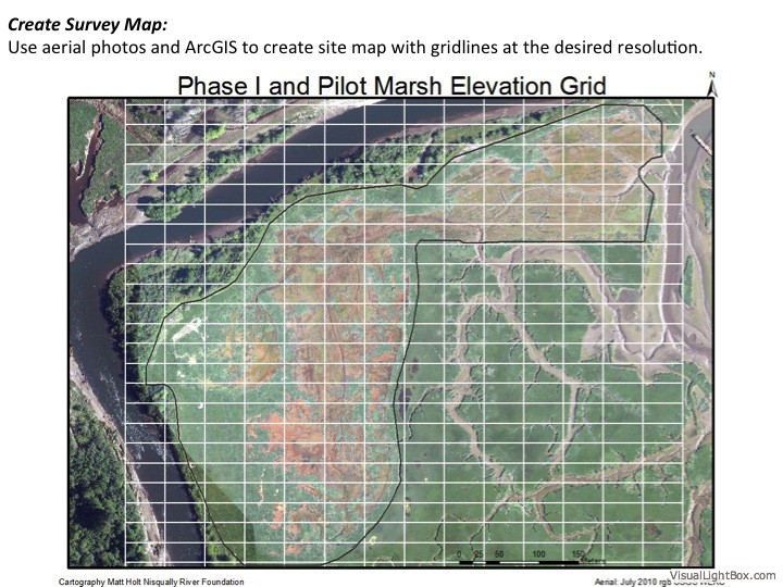
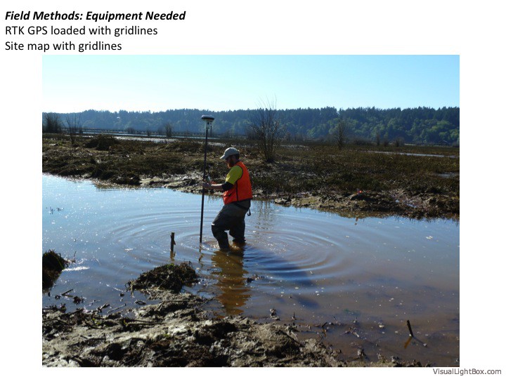
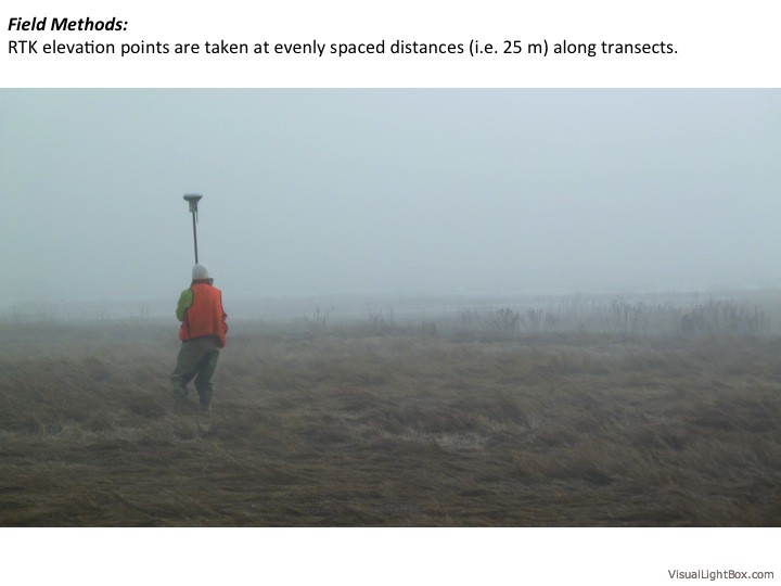
Ground-based Topographic Mapping using RTK GPS
Bathymetric Mapping
Terrestrial and Aerial LiDAR
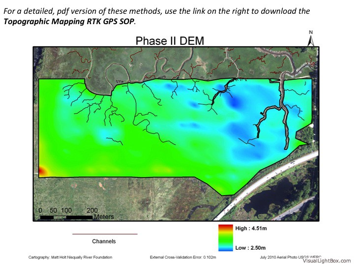
Elevation Topographic Mapping RTK GPS SOP
1.1 MB
Join the Discussion
Elevation: Ground-based Topographic Mapping
Click on first image to begin slideshow or any image to view.
Discussion
Please enable JavaScript to view the
comments powered by Disqus.
comments powered by
Disqus